Near-Real Time
Global Cloud Product

Make informed decisions with 3-km seamlesly gridded cloud data delivered right to your application.
Help Icon
Looking for the legacy homepage? It's still here!
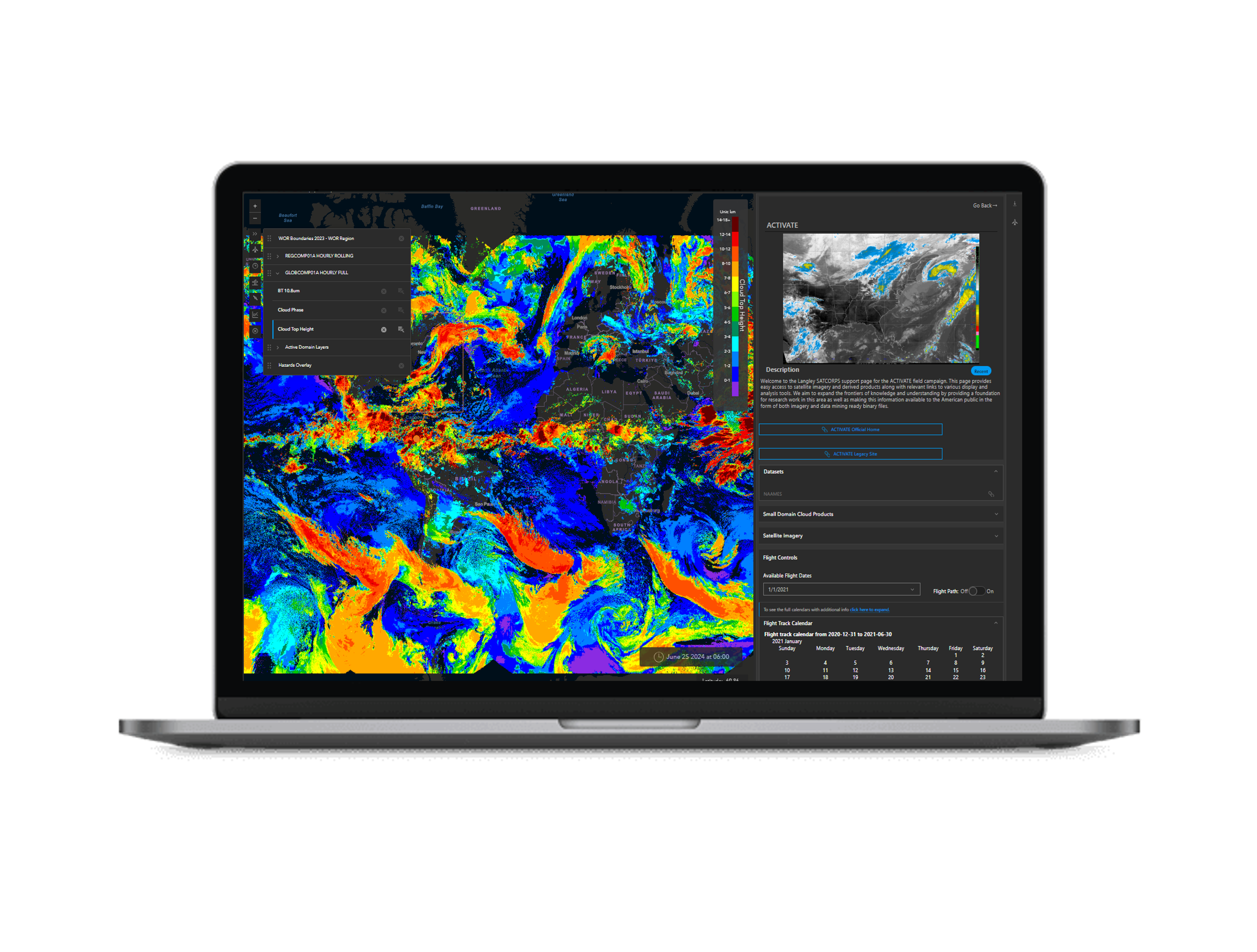
Yes, we have that location

Global cloud composites are created with hourly mosaics fused from LEO (SNPP, JPSS-1, AQUA, MODIS) and GEO Satellite imagers (GOES-West, GOES-East, Metesat-11, Metesat-8, and Himawari-8) to get optimal coverage of the world.

Supported Groups

Collaborating with research groups to improve knowledge of atmospheric thermodynamics and clouds to better characterize their impacts on weather and climate. We work closely with Cloud and Radiation Group, Langley Satellite Calibration, and ASR.

Open Science meets Open Data

The SatCORPS algorithms are state-of-the-art theoretical and empirical inversion methods for estimating atmospheric characteristics from polar-orbiting, geostationary, and precessing-orbit satellite measurements with account for satellite-specific spectral response and cross-platform calibration.