|
Welcome to the NASA Langley Satellite Page for the ARM field campaign in Southern Great Plains (SGP). This web server was developed to provide near real-time GOES (8 & 10) and AVHRR (NOAA-15 & 16, & 17) satellite imagery and products, satellite orbital predictions, and weather products to support ARM field campaigns (ARM-UAV, ARESE-II, ARM Cloud IOP ). It is not intended for "operational" use. This work is being directed by
Patrick Minnis
of the Atmospheric Sciences Division
at the NASA Langley Research Center
located in Hampton, Virginia.
|
|
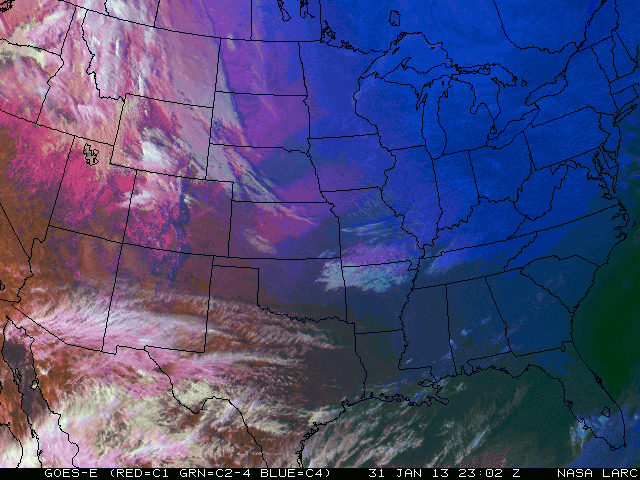
Current GOES-8 False Color Image
using 0.65um (red), 3.9-10.7um (greenn) & 10.7um (blue)
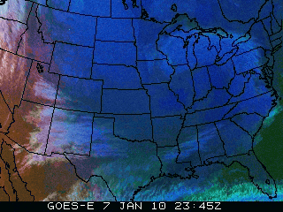
click on image for larger view
|
|
|

|
Satellite and conventional datasets
are acquired from
SSEC in Madison, Wisconsin.
Most images on this website are produced using
McIDAS
software system.
|
|
|
Orbital Prediction

|
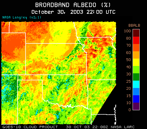
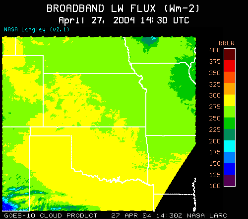
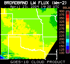
Cloud Product
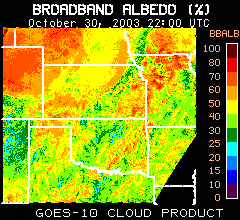 click on image for larger view
|
click on image for larger view
|
|